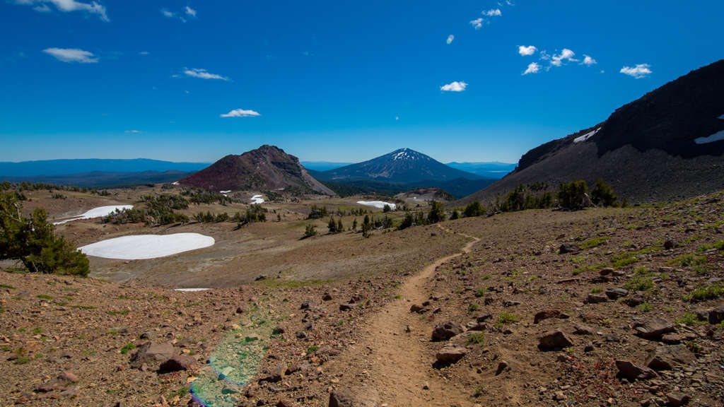
I’ve lived in Bend for more than 13 years, and though I’ve heard of the Oregon Badlands Wilderness, I had never spent time exploring it. I suppose I thought it sounded like a place I’d be sent as punishment for bad behavior.
Not that I don’t deserve it, but the Oregon Badlands Wilderness east of Bend is really the opposite of punishment. With raw, volcanic landscapes and craggy, ancient junipers, it’s a side of Bend not many people get to see.
The Visit Bend team had the amazing opportunity to explore this area with David Eddleston, manager of the volunteer stewardship organization the Friends of Oregon Badlands Wilderness.
At just under 30,000 acres, the area is vast and wild, but still simple for the average hiker to explore in small chunks.
We started off with a visit to the Larry Chitwood Trailhead, which we accessed by heading east on Highway 20, north on Dodds Road. That trail offers a fairly flat 4-5 mile loop with some lava flows and ancient junipers. The trail is marked, but stupid jerks people keep stealing the signs, so pay attention. Be sure to grab a brochure from the box at the trailhead, since there’s a map inside.

Next, we made a stop at the Flatiron Rock Trailhead just off Highway 20. Hikers can take the Ancient Juniper trail about two miles to where it connects with the Flatiron Trail. You can turn around there, or continue in a loop on Flatiron Trail to see Castle Rock and Badlands Rock – both fascinating rock formations. Looping back on Flatiron Trail makes the whole trip about 8 miles.
For me, the best hike was an off-trail loop we took starting right at mile marker 15 off Highway 20. Heading due north, we walked through something that looked like very fine sand.
“Volcanic ash,” David informed us, explaining how it traveled there when Mount Mazama erupted around 5,677 BC to form Crater Lake. The ash has broken down to the delightful consistency of powdered sugar, though I don’t recommend sprinkling it on pancakes.
I do recommend walking abreast instead of single-file through these off-trail areas to avoid forming new trails.
About ¼ mile from the highway, we came to the Badlands Volcano. This is where the underground vent that supplied the lava flow from the Newberry Caldera to the Badlands Wilderness developed a hole in the roof at its highest point. That became the source of the lava flow in a general northeast direction.
Even without knowing the history or geology, it’s cool to look at. So are the gnarly, ancient junipers that seem to spring up out of impossible rock formations.
Heading north from there, we came upon a pressure ridge (also known as a tumulus). That’s where we witnessed one of the more fascinating natural marvels.
“Packrat poop,” David said, pointing out a rather sizeable pile of it.
Whether you’re interested in rodent excrement, trees, rock formations, or just a whole lot of glorious silence and solitude, it’s definitely worth visiting the Oregon Badlands Wilderness. There’s an excellent map on the Bureau of Land Management website. It’s also smart to have a compass or a GPS unit to keep yourself oriented.
Water is a must, particularly in warmer weather (and don’t forget water for Fido, who is welcome to roam without a leash). Horses are welcome, too, but the area is closed to bikes and motorized vehicles, so leave the motorized barstool at home.
Any questions about the Oregon Badlands Wilderness? Ask away! I may not have the answers, but I know a guy who does. If you ask really nicely, he might even show you the packrat poop.
